
Local angles
Nor'easters and Tidal Flooding in St. Augustine: What Homeowners Should Know
By Dal Beggs, founder and owner of 1 Call Restoration. Published November 1, 2026. Updated November 1, 2026.
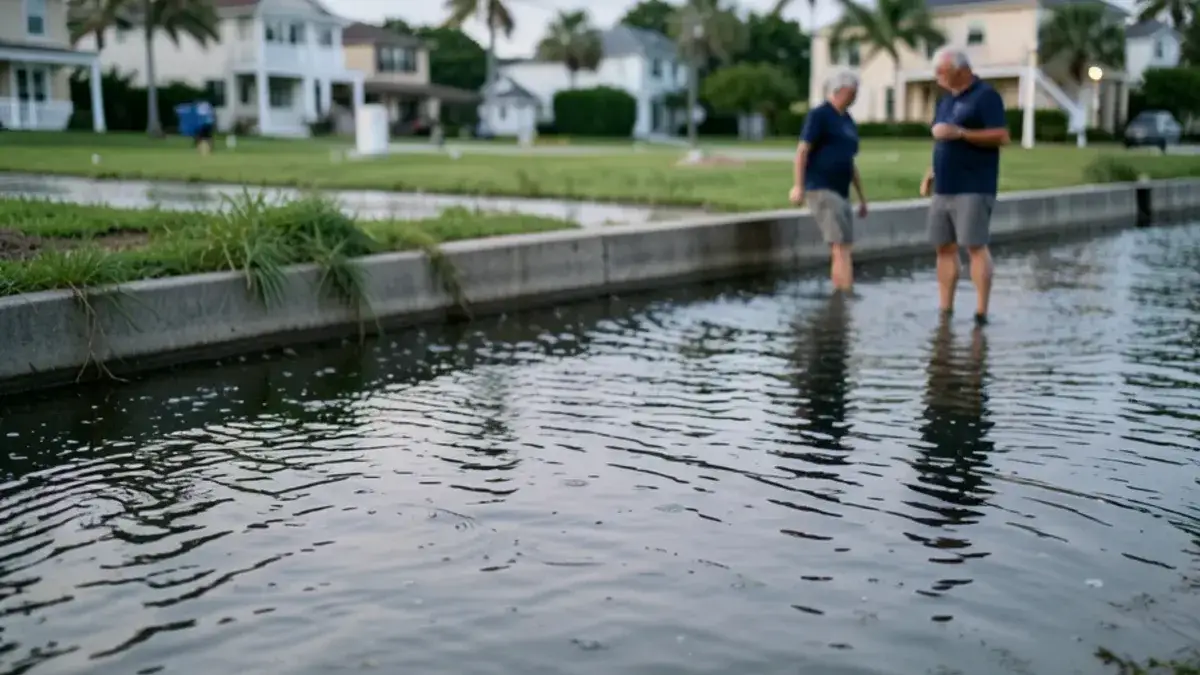
Tidal flooding in St. Augustine happens when a high tide, often a king tide, pushes river water over low ground, and a nor'easter can stack wind and rain on top. Most of that water leaves with the falling tide. If it crosses your threshold, treat it as Category 3 water and start drying, because what it left behind stays.
How does tidal flooding reach St. Augustine streets?
High water comes up from below, through low ground along the rivers. The City says king tides, its term for the highest fall tide cycle, often bring minor flooding to coastal and low-lying areas. It adds that heavy rain, strong winds or big waves on top of a king tide can make that flooding more serious.
A nor'easter can bring all three. The City specifically warns that nor'easters or rainfall can worsen nuisance flooding, so a tide that would only wet the curb on a calm day can behave very differently in a blow. Sea level matters too. The City says rising seas are making high-tide flooding more frequent, longer-lasting and farther-reaching.
Tide water past your door? Call us before it dries in place
Open 24 hours for emergencies. Non-emergency calls are best between 7am and 7pm.
- 5.0 on Google, 8 reviews
- Family owned since 2020
- Calls go straight to the owner
- Free assessments and estimates
What do the gauges actually show?
They show a real trend, with one local gap. NOAA's nearest gauge with an official flood threshold is at Mayport, about 35 miles north at the St. Johns River mouth. We could not find a published NOAA flood threshold for a St. Augustine gauge. NOAA's record for the St. Augustine Beach pier station shows it was removed in 2004.
| Measure | Figure | Source |
|---|---|---|
| Minor high tide flooding, national scale | About 1.8 ft above average high tide | NOAA |
| Moderate high tide flooding, national scale | About 2.8 ft, can damage homes and businesses | NOAA |
| Mayport minor flood level | 1.83 ft above mean higher high water | NOAA station data |
| Minor flood days at Mayport | 0 a year from 2011 to 2014, 9 in 2023, 5 in 2025 | NOAA annual counts |
| Tolomato River gauge, Irma, 2017 | 3.61 ft above mean higher high water | NWS, News4Jax |
| Tolomato River gauge, Matthew, 2016 | 3.58 ft above mean higher high water | News4Jax |
Read Mayport as a regional signal, not a forecast for your street. A low lot on the Matanzas can see water on days Mayport records nothing. News4Jax reported in 2019 that those two Tolomato readings were the highest on record there.

Where does the City watch for high water?
Start with the City's own list. Ahead of the October 2024 king tides, Jacksonville Today reported these areas of concern:
- South Davis Shores, Lincolnville, Fullerwood and Nelmar Terrace
- Abbott Tract and the Maria Sanchez Lake area
- Bridge Street between Cordova and Granada streets
- The bayfront seawall by the Castillo de San Marcos
- The San Sebastian River Bridge at U.S. 1 and King Street
That list is about streets, so it does not tell you whether a given house takes on water. Your own floor height does. The City's work on tide check valves and its South Davis Shores tidal flooding study show how seriously it takes the problem, but neither one changes what you do when water is at your door.
The same coast runs north. Ponte Vedra Beach has the Tolomato River at its back and the Atlantic in front, so wind-held water and rain are worth watching there too.
What does a nor'easter add to a king tide?
Wind on top of a tide already running high. In November 2021 a nor'easter landed on a king tide cycle, and News4Jax reported winds of 63 mph at Marineland, 16-foot waves and St. Johns River gauges more than a foot above predicted levels. In St. Augustine the same coverage had King Street closed between Ponce de Leon and Malaga, drivers told to avoid Davis Shores, and the Bridge of Lions shut for about four hours.
That was no hurricane, so do not wait for a named storm before you take a tide date seriously. Police told drivers that week not to try flooded roads, and the National Weather Service cautioned that most flood fatalities are vehicle-related.
How bad can it get? Matthew and Irma
Those storms mark the upper end, and they were different events from a king tide. The National Weather Service reported that Hurricane Matthew in October 2016 sent surge over the sea wall at St. Augustine Beach and the Castillo, with water crossing Anastasia Island at about 2.5 feet above ground. The City says thirteen sewer pump stations were damaged.
Hurricane Irma in September 2017 hit St. Johns County with tropical storm winds, surge and multiple tornadoes, according to the Weather Service's preliminary report. For a homeowner the lesson is the pump stations. Storm flood water may be carrying sewage, which is why we never treat it as clean.
When tide water gets inside: rules we follow
Keep it simple and keep it conservative. The City warns that floodwater is dangerous and a health hazard, and that high tides can dislodge manhole covers, so nobody should wade through it to check on a car.
- Stay out until the water is gone and the power is confirmed safe.
- Photograph the waterline on walls before it dries and fades.
- Treat the water as Category 3, the same as a sewage cleanup.
- Pull wet carpet, pad and baseboards rather than trying to dry them.
- Make a flood cut above the wet line where drywall took on water.
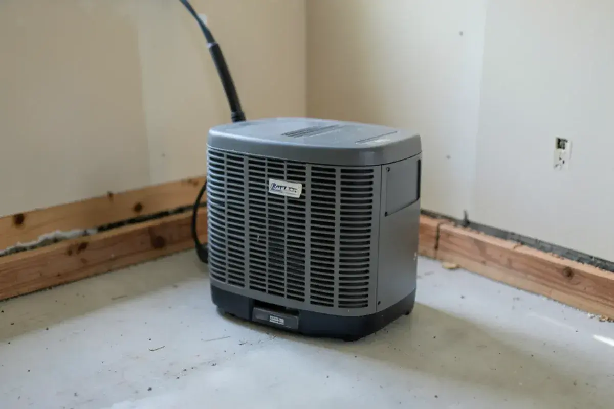
- Close the house and run LGR dehumidifiers, because outdoor air is wet.
Falling water is not the end of the job. Flood and storm damage work starts once the street is clear, and structural drying ends only when readings match unaffected materials in the same home.
Two calls that take judgment
Timing is the first. The City's high-water dates come in runs, such as November 23 to 27, so water that came in on one tide can come back on the next. Wet carpet and pad come out right away either way, because they hold contaminated water against the floor. Setting full drying before the run ends risks doing that work twice, and waiting leaves walls wet longer. We look at the tide dates and the forecast with you and decide on the day.
Reading the wall is the second. Salt conducts electricity, so a pin meter can read high on a wall that has already given up its water. We check suspect readings with a non-invasive meter and thermal imaging, clean the surface, and test again before we call anything wet or dry.
Before the next high tide
Use the dates. The City posts king tide dates each year, and its 2026 list runs through November 7 to 9 and November 23 to 27. Add your local forecast, then work through this short list.
- Lift boxes, tools and paperwork off garage and ground floors.
- Park on higher ground, and never leave a car where water gathers.
- Avoid driving through standing water. If you must, the City says go slowly, since wakes can damage property.
- Know where your main breaker and water shutoff are.
- Save a dated photo of each room while it is dry.
Insurance is a separate question. Florida's Office of Insurance Regulation says most homeowners policies do not cover flooding, and our guide to flood versus water damage coverage explains the difference in general terms. Your policy wording and your adjuster decide.
One tide inside is enough to call
Water in the street is something to plan around, and it usually drains on its own. Water past your threshold is a different decision, because the silt, salt and whatever the tide carried stay in the wall after it falls.
If river water has been in your home, even for one tide, call us. We will meter the walls, show you how far the water traveled and give you an estimate. Call any time with an emergency, and the call goes straight to the owner.
Frequently asked questions
My garage took on tide water and drained by itself. Is that still a problem?
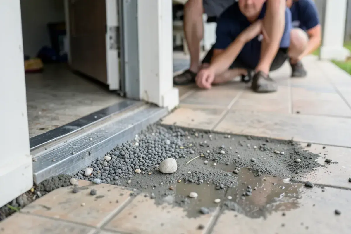
It can be, even with a dry-looking slab. Tide water leaves silt and salt at the bottom of the wall, and the drywall behind a garage baseboard wicks moisture upward. Check where the wall meets the slab for a damp line, soft paper or swelling. If the garage shares a wall with the house, have that wall metered, because the wet side faces your living space.
How can I tell if a nor'easter will make a high tide worse?
Compare two things: the City's list of king tide dates and the National Weather Service forecast for your area. The City warns that nor'easters and rainfall can worsen nuisance flooding, so a tide date with strong onshore wind or heavy rain deserves more attention. For hour-by-hour timing, the City points residents to its water level gauge dashboard and the NOAA tide chart.
Can I hose out a room after river water comes through?
Not until the power is confirmed safe, and a hose only moves the problem. Flood water counts as Category 3, so carpet, pad and wet drywall that touched it usually come out rather than get rinsed. Spraying also pushes water deeper into wall bases. Photograph everything first, keep kids and pets out, and wear gloves and boots if you must go in.
Water came in on the tide? Call for a free assessment
Open 24 hours for emergencies. Non-emergency calls are best between 7am and 7pm.
- 5.0 on Google, 8 reviews
- Family owned since 2020
- Calls go straight to the owner
- Free assessments and estimates
1 Call Restoration, Saint Augustine, FL. (208) 464-4194.
Related services: Flood and Storm Damage, Sewage Cleanup, Structural Drying. Serving Ponte Vedra Beach and the rest of our service area.
Sources
- NOAA National Ocean Service, What Is High Tide Flooding?
- NOAA Tides and Currents, Mayport (Bar Pilots Dock) Station 8720218
- NOAA Tides and Currents, St. Augustine Beach Station 8720587 Bench Mark Sheet
- City of St. Augustine, King Tide
- City of St. Augustine, Coastal Vulnerability
- Jacksonville Today, St. Augustine king tides flooding, October 14, 2024
- National Weather Service Jacksonville, Hurricane Matthew Event Summary
- National Weather Service Jacksonville, Hurricane Irma Post Tropical Cyclone Report (preliminary)
- News4Jax, Dorian's storm surge compared to Hurricanes Irma, Matthew, September 5, 2019
- Florida Office of Insurance Regulation, Flood Insurance
- News4Jax, Flooding forces closures in St. Augustine, including Bridge of Lions, November 6, 2021
- News4Jax, Nor'easter ranks just behind Irma for coastal flooding, November 9, 2021